Hopeful for another 3am start to see sunrise from the highest point in mainland South Korea we left on Halloween night for Jirisan National Park. Halloween delays in the city and slippery roads caused delays which meant we didn’t start hiking until nearly 6am. On the bright side we all were able to sleep (or attempt to sleep) on the bus for a little while longer.
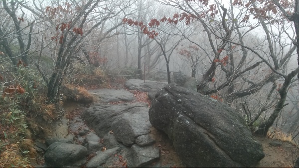
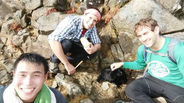
Even with the delays it was still pitch black on the trail as a misty morning approached. Happy to be in a park void of the traffic from our last endeavor to Seoraksan National Park we made great time up the steep trail. The trailhead begins at about 650m above sea level; we were immediately joined by a little black pooch. He led the way for an hour or two when we found ourselves at the first break point, a small temple and rest area. Light now poured through the misty clouds obstructing any sunrise that would have been when suddenly I realized I left my SD card in my laptop. Settling on my phone camera & borrowed pictures for the rest of the day I trudged onward.
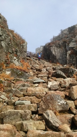
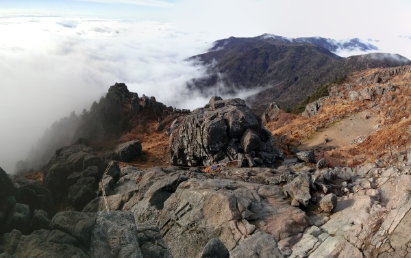
The morning was grueling and our journey wasn’t about to get any easier. Leaving our rest stop and the last of nights’ dark shadows behind us our troupe trekked upwards over boulders. The climb grew steeper still as we pulled our way up. Hand over hand along the ropes & chains as strength faltered we gladly took breaks to embrace the growing beauty of these misty trails.
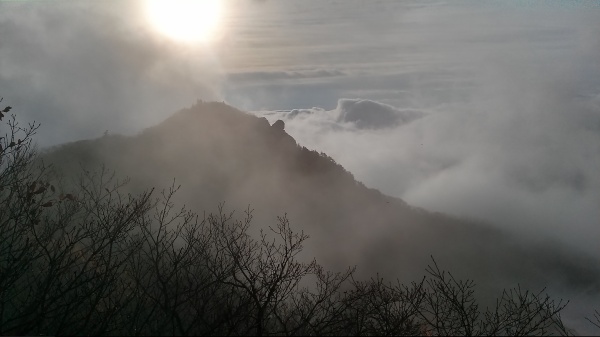
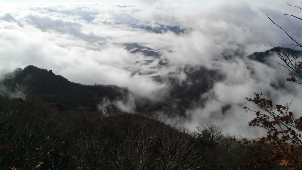
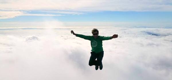
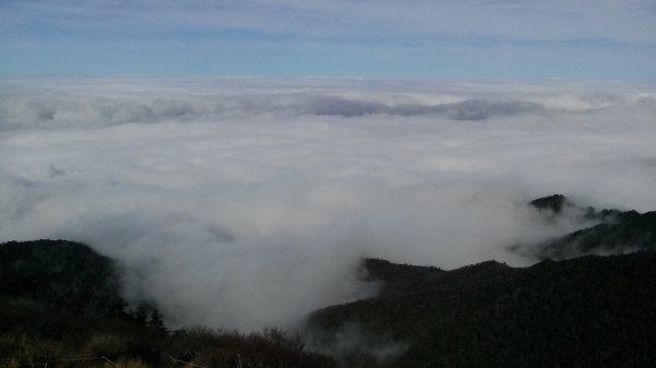
The familiar path weaved in and out of the trees growing ever thinner the higher we reached when suddenly we breached the clouds. Miraculously blue skies shone above as a cloudy bed stretched far below. The urge to jump in and curl up with a fluffy white pillow tempted yet another break but we pushed through… until the stairs began.
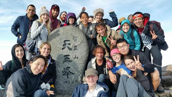
A few staircases turned into a few more. It seems that Korea likes to bring engineering into the deepest of forests. Luckily they didn’t last forever, we found a few more rock paths and boulders to climb over before the last few stories brought us to the peak! (and somehow that pooch beat me up there)
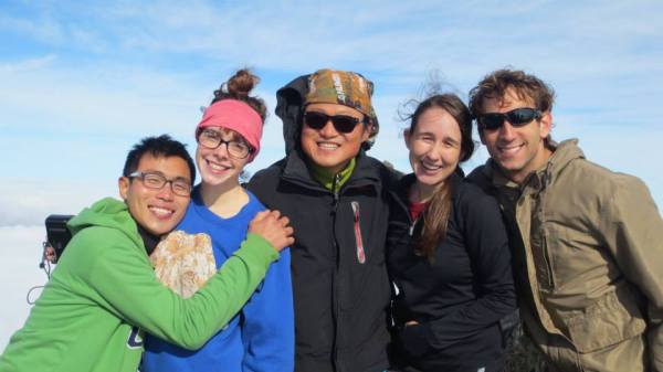
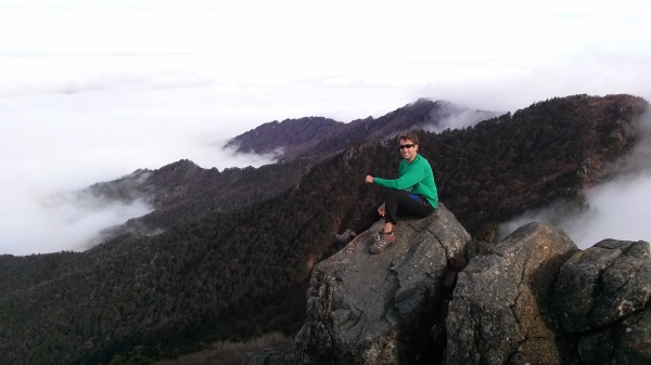
We hung out at the top for quite a while. Somehow there was even cell phone & internet service at the peak. What else to do except update Facebook and Skype with my parents. So I did! Oh yeah, I stood in awe of the endless sea of clouds too. It felt like we were high up in an airplane above the clouds; then you realized the wind was rushing by your face and not bouncing off the outside of some fuselage. 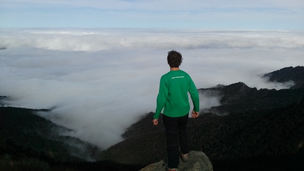
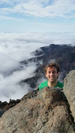
The 360 degree view was easily one of the most stunning natural sights I’ve ever seen. Giant cotton bolls rolling along bouncing off each other hundreds of meters BELOW us. I didn’t want to leave. Perhaps I’ll just camp out with that pooch and never go back to work.
Sadly that plan didn’t work. We departed after what must have been over an hour of gawking and (of course) Skyping at the summit. The road down followed the ridge for nearly two kilometers before we found a lodge and a snack lunch break. Taking a sharp left down into the valley we kept on hiking after eating.
Before long we were back in the clouds as a trickling waterfall paralleled our journey. Have you ever been surrounded by a cloud while stairing at a waterfall and listening to the sounds of nature? No, well it should go on your bucket list for sure! It means you’ve got a chance to hike higher and breach the surface of those white fluffballs, not to mention its incredibly soothing too.
The trail wove back and forth over the stream crossing over waterfalls and massive pools that tempted us with a swim. Eager to enjoy some homemade makkeoli and 김치 지개 (kimchi jiggae/kimchi stew) we pushed forward. Don’t worry we took plenty of breaks to enjoy the serenity. I for one deliberately “got lost” for a good 20 minutes strolling along the stream as my companions followed the trail past an array of rocky sculptures.
Nearing the bottom the fog began to dissipate but was quickly replaced with a light rain. It was hard to imagine that we had just been staring at blue skies above the clouds and were about to eat a delicious meal in the shadow they were casting. The rain refreshed us and began to chill in the fall weather making the desire for a steamy bowl of Korean goodness even greater! ~2600m of elevation change over roughly 12 kilometers. We definitely earned a meal!
What was your favorite moment above the clouds?
P.S. If you made it this far I can assume you’re one of my regulars so thanks for reading! Life updates coming soon. But here’s the short version. I’ve been busy training for 2 upcoming tournaments and busy busy busy at work (oh yeah and lets not forget all this hiking). Exciting travel plans have been made and I promise I’ll get more info out shortly.
Thanks for this awesome video Warren!


